Chapter 12 · Part 03
How Do You Learn to Cross an Ocean?
Maps, the compass, astronomy, ships and cumulative knowledge.
Oceanic exploration emerged from the accumulation of knowledge from different cultures. Navigation, mathematics, cartography and shipbuilding transformed the ocean from a barrier into an enduring link.
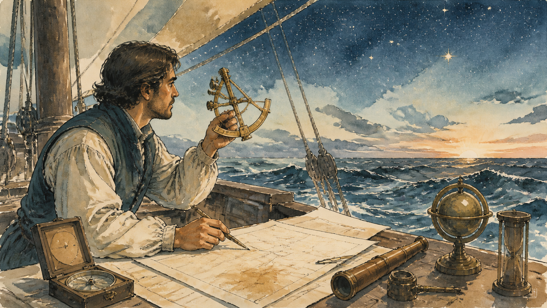
If you cross the Atlantic by air today, the journey is almost offensively simple. You know where you are, you know when you will arrive and, if you look at the screen in front of your seat, you can follow a tiny icon moving across a map. Now take away satellites, GPS, engines, modern weather forecasts and radio. You are left with a wooden ship, sails, relatively simple instruments and an ocean large enough to conceal entire continents. How do you manage? The answer matters because European oceanic expansion did not depend on a single magical invention. It was a puzzle made up of navigation, astronomy, cartography, shipbuilding, practical experience, capital and political organisation. Every piece came from a longer, often intercultural history.
The compass was not born in Portugal
The magnetic compass was developed in China, and its use in navigation gradually spread across Eurasia. When European sailors began using it regularly in the Middle Ages, they gained a valuable tool: the ability to maintain a heading even when neither the coast nor the stars were visible. But a compass does not automatically tell you where you are. It gives you a direction. To cross an ocean, you need to combine many kinds of information: latitude, estimated speed, course, wind, currents and astronomical observations. Instruments such as mariners’ astrolabes and quadrants allowed sailors to estimate latitude by observing the height of the Sun or known stars. Determining longitude at sea, by contrast, remained far more difficult until the age of marine chronometers in the eighteenth century.
This means that the ocean voyages of the fifteenth and sixteenth centuries were technical undertakings, yet still full of uncertainty. Navigators did not see a perfectly accurate dot on a map. They built an estimate. In the Mediterranean, highly detailed nautical charts of coastlines—often called portolan charts—had been developed for sailors accustomed to travelling between known ports. The ocean required something different: greater experience of the open sea and a growing ability to gather, compare and preserve information. Every voyage could yield data: a more accurately drawn coastline, a recorded current, the position of an island, the behaviour of the winds. States and trading companies had an interest in guarding this information because it was economically and militarily valuable.
Cartography thus becomes a form of intelligence. Knowing that a safe harbour or a favourable route exists may allow your ship to arrive before a rival vessel. Here we encounter one of the book’s central ideas: knowledge changes geography without moving anything. An unknown reef is a danger; a reef correctly marked on a chart is a manageable obstacle.
The trick of going in the “wrong” direction
Portuguese sailors gradually learnt to exploit Atlantic wind systems. On some voyages, the fastest course was not to remain close to the coast and follow the most intuitive line, but to head out into the ocean in search of favourable winds. This technique is often associated with the Portuguese concept of the volta do mar, the “turn of the sea”. It is a beautiful example of how geometric distance can mislead. The shortest route on a map is not always the quickest. The same principle applies today to flight paths, ocean currents and even the internet, where data does not necessarily travel along the shortest line between two points. Nature creates a system of invisible corridors. Whoever understands it best gains an advantage.
Naval technology mattered too. Caravels and other kinds of ship developed and adapted by the Portuguese offered useful combinations of manoeuvrability, capacity and sails suited to different winds. But once again, it would be an exaggeration to speak of a single “ship that conquered the world”. European ocean-going fleets used different types of vessel and continued to evolve. More important was the system as a whole: shipyards capable of building and repairing ships, provisioning ports, trained sailors, financiers willing to take risks, naval artillery and states able to support repeated expeditions. A single expedition can discover a route. A logistical system can turn it into permanent trade.
History loves nicknames, and few are as misleading as “Henry the Navigator”. The Portuguese prince Henry, who lived across the fourteenth and fifteenth centuries, supported expeditions along the African coast and became a symbol of Portuguese maritime expansion, but he was not personally the great ocean explorer his name suggests. The famous “school of Sagres”, sometimes portrayed as a modern research centre bustling with cartographers and scientists, has probably also been mythologised into something far more clear-cut than it ever was. It is a useful reminder: real history is often less cinematic than the version we construct afterwards. What matters is that, for decades, the Portuguese monarchy supported a series of explorations that ventured incrementally farther along Africa. Bartolomeu Dias rounded the Cape of Good Hope in 1488; Vasco da Gama reached India in 1498. This was not a leap into the dark made one morning. It was a process of accumulation.
Columbus made one important miscalculation—and found a continent he was not looking for
Christopher Columbus offers an even more famous curiosity. He was convinced that Asia could be reached by sailing west and significantly underestimated the true distance between Europe and Asia across the Atlantic. Had the Americas not lain along the route, his provisions might not have lasted long enough to reach Asia. When his ships arrived in the Caribbean in 1492, Columbus believed that he was near Asia. The voyage opened a permanent connection between worlds that had remained largely separate for thousands of years, but it arose from a combination of knowledge, error, luck and political funding. This is a powerful lesson against telling history as though it were inevitable. Great transformations can depend on decisions made with incomplete information.
We must also use the word discovery with care. The Americas were inhabited by millions of people and were home to complex societies. Saying that Columbus “discovered America” makes sense only from a European perspective of permanent connection; it does not mean that the continent was unknown to its inhabitants. Norse navigators had also reached North America centuries earlier, although those encounters did not produce a permanent transatlantic connection comparable to the one that followed. Global history improves when you always ask: “discovered by whom?” Within a few decades, the new ocean routes allowed European powers to force their way violently into African and Asian trading systems and to conquer territories in the Americas. Armed ships could threaten ports, control passages and carry soldiers across distances that had once been prohibitive.
But naval success should not be confused with general superiority. In many regions of Asia, Europeans remained minor players for centuries and had to negotiate with much larger local powers. The massive territorial conquest of Asia and Africa would come chiefly later, with the Industrial Revolution. In the Americas, by contrast, the balance changed rapidly through a combination of weapons, alliances with local peoples, political rivalries and—devastatingly—Old World diseases against which Indigenous populations had no comparable prior immunity. It is precisely here that ocean travel ceases to be a story about maps and becomes a biological, demographic and political story.
Before the Europeans, other oceans had already been crossed
To portray the Age of Exploration as the moment when “humankind learnt to sail far from shore” would be absurd. Austronesian peoples had colonised remote Pacific islands centuries earlier, using sophisticated knowledge of stars, waves, winds and animals. Arab, Persian, Indian, African and South-East Asian merchants regularly sailed the Indian Ocean. The Vikings had reached North America around the year 1000. What changed in the fifteenth and sixteenth centuries was not the universal invention of ocean travel, but the construction by European states of stable sea routes directly linking the Atlantic, the Indian Ocean and then the Americas within an expanding commercial and imperial system.
The distinction is essential because it avoids using the word “discovery” as though a place began to exist when a European saw it. Columbus did not discover an empty continent. He encountered worlds inhabited by millions of people, with their own cities, empires, languages and trading networks. At the beginning of the fifteenth century, decades before Vasco da Gama, Admiral Zheng He led great Ming-dynasty expeditions through South-East Asia and the Indian Ocean to the coasts of South Asia, the Arabian Peninsula and East Africa. The precise dimensions of some ships described in the sources are disputed, but the scale of the fleets and voyages is beyond doubt.
Why, then, did China not build an oceanic empire like Portugal’s? Because technological capability and political choice are different things. The priorities of the Ming court changed, the expeditions ended and resources were directed elsewhere. There is no law stating that those who know how to cross an ocean must colonise what they find. This is an excellent antidote to technological determinism: possessing a capability opens up a possibility; it does not write the political programme that will put it to use.
The longitude problem
Something apparently abstract—knowing what time it is at another point on the planet—can therefore save ships, improve maps and strengthen empires. Time, too, becomes geopolitical infrastructure when it can be measured accurately. Maps improve because navigators bring back measurements, descriptions and observations. Better maps then make safer voyages possible, and those voyages produce new data. It is a feedback loop between knowledge and power. This also means that mapping can be a political act. If a state surveys coasts, ports and rivers, it is not merely satisfying scientific curiosity: it is creating information useful for trade, taxation and war. In the imperial centuries, scientific expeditions and strategic interests would often overlap. The map that appears to describe the world can become an instrument for controlling it. Potatoes and horses, silver and sugar, free people and enslaved people would all travel. Viruses and bacteria would travel with them. The geography of the planet would not change, but its human ecology would.
None of the great crossings arose from a single invention
It is comforting to imagine that, at some point, someone invented the compass and the ocean suddenly became navigable. The true story is more interesting because it shows how innovation actually works: by combining knowledge from different places. The magnetic compass, astronomical observation, charts, instruments for estimating latitude, shipbuilding techniques, experience of winds and currents, and financial organisation accumulated gradually. No single element produced the Age of Exploration by itself. The magnetic compass originated in China and its use for navigation spread westwards over time; astronomical instruments such as the astrolabe had a long Greek and Hellenistic history and were developed and refined in the Islamic world; the mathematics used by European navigators embodied centuries of knowledge transmitted through India, the Islamic world and Europe. Fifteenth-century Portuguese ships were the result of experiments and adaptations to Atlantic and African routes. To speak of isolated “European genius” is to miss the most beautiful point: global exploration was made possible by global knowledge.
The Portuguese did not launch themselves directly from Lisbon towards India. For decades, they gradually explored the African coast, learning its currents, winds and provisioning points. Bartolomeu Dias rounded the Cape of Good Hope in 1488; Vasco da Gama reached Calicut in 1498. Each expedition used information gathered by its predecessors and, once it entered the Indian Ocean, also had to rely on local expertise and networks. This process resembles iterative technological development far more than a heroic leap into the unknown. On the open sea, you must solve a problem that is easy to forget on land: knowing where you are. Latitude—how far north or south you are—can be estimated by observing the height of the Sun or known stars. Longitude—how far east or west you are—was far harder to determine accurately for centuries. In theory, you need only compare local time with the time at a reference meridian: the Earth rotates, so the time difference corresponds to an angular difference. In practice, you need a clock capable of keeping extremely accurate time through weeks of waves, changes in temperature and humidity.
The problem became so important to navigation and safety that the British Parliament passed the Longitude Act in 1714, offering rewards for sufficiently accurate methods. John Harrison devoted decades to developing increasingly precise marine chronometers. His story is wonderful because it transforms an apparently domestic object—a clock—into a geopolitical technology. Measuring time more accurately means knowing where a fleet is, preventing shipwrecks, drawing more reliable charts, and sustaining trade and empires. This is a recurring theme of the book: many technologies that change geopolitics are not born as “geopolitical weapons”. A chronometer, an astronomical table or a nautical chart can increase the capacity to project power as much as a cannon can, because it reduces uncertainty.
Christopher Columbus is a perfect example of the extent to which exploration and knowledge are also made up of errors. He was convinced that reaching Asia by sailing west was feasible because he vastly underestimated the real distance across the ocean. Had the Americas not lain between Europe and Asia, his resources would probably not have been enough to reach his intended destination. The 1492 expedition succeeded not because the calculation was correct, but because it encountered a continent that European geography had not anticipated along that route. The Americas were, of course, inhabited by millions of people, and Norse navigators had already reached North America centuries earlier; speaking of the “discovery of America” without specifying the European point of view is therefore misleading. What makes 1492 a historical watershed is not that a human being saw those lands for the first time, but that it began a continuous transatlantic connection capable of transforming ecosystems, populations and economies on a global scale.
Zheng He and the question with no simple answer
At the beginning of the fifteenth century, before the great Portuguese routes to India, the Ming dynasty sent enormous naval expeditions led by Admiral Zheng He through South-East Asia and the Indian Ocean to the shores of East Africa. The fleets had diplomatic, political and commercial aims, and they demonstrate that the ability to organise large-scale ocean navigation was not a European monopoly. Why, then, did Ming China not continue with a maritime expansion similar to that of the European powers? It is a famous and dangerous question because it invites single-cause answers. Political priorities, costs, threats on the northern frontiers, the balance of power at court and state strategies all changed. The expeditions were not the inevitable first step towards a global colonial empire; they were a specific instrument of a particular regime. Technology makes something possible, but it does not decide that a state must want to do it.
This distinction will remain crucial later on. Possessing a technology does not automatically mean building the same political system as someone using it elsewhere. Ships make it possible to cross the ocean. Empires, merchants and governments decide what to seek once they reach the other side.