Chapter 04 · Part 01
Does the Sea Divide or Connect?
From barrier to the planet's cheapest highway.
The sea seems to separate people, but navigation turns it into the most efficient route for moving large quantities of goods. Ports, fleets and shipping lanes change the value of geography.
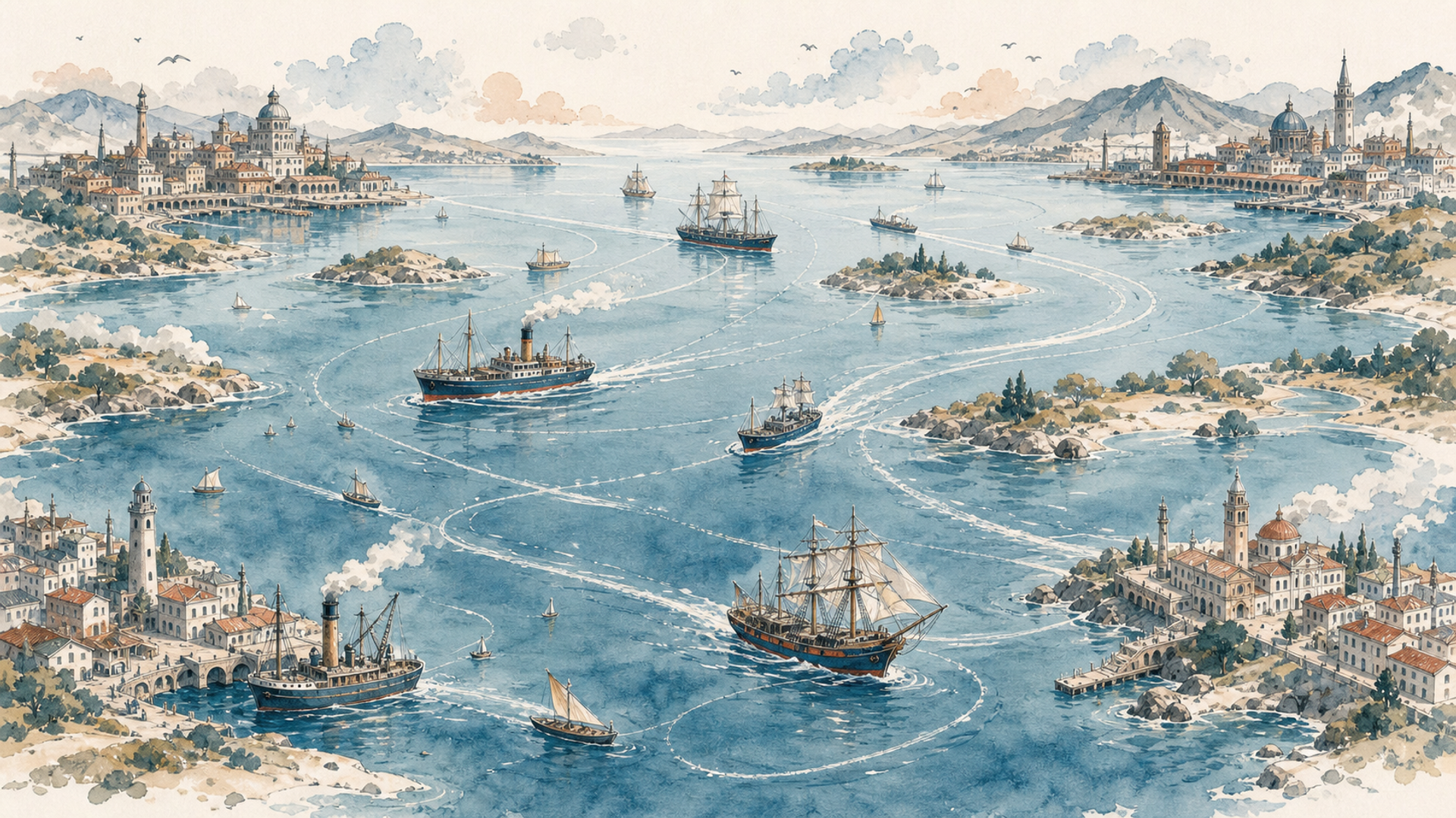
Had you been born thousands of years ago in a coastal village, the horizon might have looked like the end of the world: no road, no bridge, no sign of what lay beyond. Yet to another villager—one who could build a boat and read winds and currents—the same water was the beginning of a road.
This is one of history’s great reversals: what separates can also connect. Mountains usually make movement more expensive. Once people learn to navigate it, the sea can do the opposite. A ship floats. That apparently banal physical fact allows it to carry quantities of material that would require huge numbers of animals, carts or, later, lorries and trains on land. The history of coastal civilisations is therefore inseparable from the history of ports.
The Mediterranean was not emptiness between lands
Look at the Mediterranean and forget modern borders for a moment. You see an almost enclosed sea, ringed by fairly close shores and filled with islands and peninsulas. It is easy to understand how it became a vast exchange zone. Phoenicians, Greeks, Carthaginians, Romans and many others lived not despite the water between them, but partly because of it.
The Phoenicians, based mainly along the coast of present-day Lebanon and neighbouring areas, built trading networks and settlements across the Mediterranean. Carthage became a major maritime power on the North African coast. Greeks founded colonies from the Black Sea to southern Italy. Rome began chiefly as a land power on the Italian peninsula, then made the Mediterranean the logistical centre of its empire.
Connection did not make travel safe. Ancient ships were highly dependent on season, wind and coastal knowledge; storms and wrecks were real dangers. Yet even within those limits, the sea moved grain, oil, wine, stone, metals and people across extraordinary distances. Rome is an almost perfect example. A city of exceptional size needed enormous quantities of food. Grain arrived from Egypt and North Africa by sea. Moving the same cargo overland with contemporary technology would have cost vastly more. The sea let a metropolis depend on fields hundreds or thousands of kilometres away.
This helps explain why so many great cities grew beside coasts, navigable rivers and estuaries. A good port connects two worlds: sea and hinterland. Goods arrive by ship and leave by road, river or rail—or products from inland gather there before travelling to distant markets. A port is not merely a point on the coast. It is a machine for making connections, requiring warehouses, labour, merchants, credit, security, shipyards and infrastructure. Cosmopolitan cities often grow around that machine, drawing languages, faiths, ideas and people together.
Alexandria, Venice, Amsterdam, London, Singapore and Shanghai belong to different ages and political systems, but all served as gateways through which a region entered much larger networks. Port cities therefore tend to receive distant novelties early: goods, technologies, diseases, fashions, political ideas and religions. The sea transports objects, but never objects alone.
That mixture leaves marks far beyond the waterfront. Languages borrow sailors’ words; religious communities establish places of worship; merchants create family and credit networks between shores. A port may know of a political upheaval or epidemic before the countryside behind it does. Connection is never merely a larger market. It changes what people eat, the stories they hear and the strangers with whom they learn to negotiate. It can also carry danger with the same efficiency. A vessel bringing grain may bring infection; the route that carries a new technology can carry armed men as well. Ports are powerful precisely because they are porous.
Before engines, navigation meant knowing the wind. In the Indian Ocean, monsoons created a seasonal rhythm that merchants and sailors learnt to use. For part of the year winds favoured travel in one direction; later they shifted. This was not a railway timetable, but it was reliable enough to support trade between East Africa, the Arabian Peninsula, India and Southeast Asia.
Pause over that fact. Long before weather satellites, entire economies relied on collective knowledge of the atmosphere’s seasonal behaviour. A merchant might wait months in a port for the homeward wind. During that time he bought, sold, talked, worshipped, learnt new words and formed relationships. Nature’s rhythm encouraged cultural mixture. Ocean routes were built as much from information as from wood and rope. Knowledge of a shoal, current, season or star could be worth money and lives. Cartography and navigation would eventually become strategic technologies.
The sea makes distance cheaper; it does not abolish it
Calling the sea efficient is not the same as calling it easy. Voyages are long, ships sink, piracy grows, harbours can be blockaded and enemy fleets can cut routes. A society dependent on the sea must learn to protect it. Here commerce and naval power become inseparable. If cities receive food, raw materials or wealth by water, a fleet exists not only to conquer, but to ensure ships arrive. This principle is central to understanding Britain, Japan, the United States and China’s growing maritime attention today.
The sea lowers some costs and creates others. You must build ships, maintain ports, train sailors, learn routes and secure passages. Once that system exists, however, it links regions that would be far harder to connect by land. More than 80 per cent of world merchandise trade by volume now travels by sea. Modern vessels dwarf ancient ones, but the basic advantage is unchanged: water carries huge weights efficiently.
The container multiplied that advantage. A standard box can move from ship to train or lorry without every object being unloaded and checked. Giant ports, automated cranes and information systems turn the sea into a global logistics chain. The container is one of those unromantic objects that changed the world far more than its appearance suggests. Yet maritime efficiency also explains the importance of the straits in the previous chapter. Global trade concentrates in a few passages. Efficiency and vulnerability grow together.
Before containerisation, a mixed cargo might be handled piece by piece by teams of dockworkers, spending days in port as sacks, barrels and crates were counted, moved and sometimes damaged or stolen. Standardisation did not simply make ships bigger. It changed the relationship between ships, railways, lorries, warehouses and industrial sites. A factory could rely on components loaded into the same steel box thousands of kilometres away. That saved enormous amounts of labour and time, while making punctual ports, cranes, schedules and computer systems newly indispensable. The box reduced one form of friction by creating a much more tightly coupled network.
You might be tempted to conclude that having a coast is always better. It is not. Landlocked countries can be prosperous, while states with thousands of kilometres of coastline can remain poor or unstable. A useful coast needs ports, inland connections, working institutions, security and investment. The coast’s physical form helps, but technology can compensate for much. Maritime economies also acquire dependencies: if energy and food arrive by ship, blockades, wars, accidents and price shocks can hurt badly.
Connection creates power and risk at the same time. An isolated city escapes some dangers but loses opportunities. A city at the centre of trade may grow rich—and feel every crisis travelling through the network.
Wind made commercial calendars
Indian Ocean merchants used monsoon winds for centuries. They did not need engines to create a kind of commercial timetable: depart when the wind carried you towards one shore, then wait for the favourable season to return. Cosmopolitan merchant communities grew in ports from East Africa and Arabia to India and Southeast Asia. People staying for months learnt languages, married and formed family and religious networks. The wind’s geography did not merely carry cargo. It helped make hybrid societies.
The Swahili coast of East Africa is a striking example. Cities such as Kilwa and Mombasa joined networks carrying African gold, ivory and other products into Indian Ocean markets. The idea that Africa remained isolated until Europeans arrived collapses as soon as you draw these routes.
Venice: a city built in an impossible position
Venice is almost a geographical provocation: a great commercial power built in a lagoon, on islands seemingly unsuited to a capital. That location nevertheless offered both protection and access to the sea. In the medieval and Renaissance periods, Venetian merchants developed deep relationships with the Islamic world and with networks bringing Asian spices into the Mediterranean. Venice did not grow the spices it sold. It profited because it stood within a network and possessed the ships, capital, information and agreements required to use it.
Again, place matters alongside organisation. When Portuguese mariners opened an ocean route around Africa to India, they did not suddenly “close” the Mediterranean. They changed the competition. A new route can reduce the relative value of an old one without moving a single coast.
A continental empire tends to expand into adjoining territory. A maritime power can control a chain of ports and bases separated by vast distances. Portugal, the Netherlands and Britain became this distinctive kind of power. They did not need to dominate every metre between possessions; they needed enough sea and enough nodes to keep the system connected. Their power looked more like a network than a continuous stain on the map.
At the naval battle of Salamis in 480 BCE, during the Greco-Persian Wars, the Greeks exploited waters in which the larger Persian fleet found manoeuvre more difficult. Ancient fleet figures remain uncertain, but the strategic principle is clear: choosing the battlefield can reduce an opponent’s numerical advantage. Salamis was almost a maritime Thermopylae, except that the sea was not merely an obstacle. It was a field of manoeuvre in which winds, currents, coasts, depth and ports determined which ships could operate where.
Controlling the sea does not mean owning every wave
When we say a power “controls the sea”, we do not mean it keeps a ship in every square kilometre. It means it can protect its own traffic, and stop or endanger an opponent’s, often enough in the places that matter.
During the nineteenth century, Britain’s Royal Navy relied on bases and coaling stations stretching from the Mediterranean to Asia. Steamships needed coal, so the machine’s independence from wind paradoxically created dependence on refuelling places. Gibraltar, Malta, Aden, Cape Town, Singapore and other nodes mattered because they kept the fleet moving. A maritime power resembles a necklace more than a solid block of colour. Lose a few beads and the chain can break.
A ship carries great loads but cannot remain at sea for ever. It needs water, repairs, trained crews, provisions and, in the steam age, fuel. Maritime power is therefore never just a matter of good ships; it is a network. Long before modern ocean empires, Phoenicians built settlements and commercial connections across the Mediterranean. Venice later turned an awkward lagoon into a node linked with distant ports and markets. Britain gave its far-flung bases immense value because together they enabled global naval and commercial movement.
Pirates exploit the same concentration of flows. Historically, they seek places where ships approach the coast, slow down, await winds or follow predictable passages—not random stretches of open ocean. This does not mean chokepoints cause piracy; political conditions, economic opportunity, operational capacity and often weak coastal control also matter. But where traffic concentrates, both protection and predation become more valuable.
The distinction matters because geography by itself explains neither prosperity nor violence. A sheltered bay does not automatically become a world port; a narrow passage does not automatically fill with pirates. Institutions, investment, naval capacity and the opportunities available on shore decide how a physical setting is used. The same coastline may be a commercial advantage under one political order and a dangerous frontier under another. Geography supplies the stage and some of the constraints, not the script.
The logic reinforces itself. A navy suppresses piracy to protect commerce; an empire installs a base to support the navy; a city grows around base and port; the port becomes indispensable to the network. When we say the sea connects, we do not mean it cancels distance. We mean it concentrates movement in corridors and nodes where transport becomes cheap enough to sustain very distant relationships.
The sea was a barrier until people learnt to read it
On land, you can stop, change path, seek water or use the landscape for bearings. At sea, for most of history, a mistake could become final. Yet many societies learnt early that water need not separate places; used well, it can bring them closer.
Rome made the Mediterranean an internal centre—Mare Nostrum. Egyptian and North African grain fed Rome; wine, oil, pottery, metal, soldiers and officials moved between ports. In the Indian Ocean, Arab, Persian, Indian, African and later Chinese merchants built an old, sophisticated trading world before European fleets arrived. When Vasco da Gama reached India by sea at the end of the fifteenth century, he did not discover an empty ocean; he entered an existing system.
The Pacific tells the same story. Austronesian and Polynesian navigators covered immense distances without modern instruments, reading stars, swells, winds, birds and other environmental signs. A European map might make the Pacific look like an empty expanse isolating tiny islands. To people who possessed that knowledge, it was a navigable network. Geography stayed the same; human capability within it changed.
The economics is less romantic but perhaps more important: water supports weight. Roads must be built and maintained along an entire route; the sea, dangerous though it is, already offers the transport surface. Ports and navigable rivers therefore exerted enormous influence on the growth of cities and markets. Today a container ship carries thousands of standard boxes, while bulk carriers move immense quantities of ore or grain. High-value technology may fly, and overland trade remains essential within continents, but maritime economies of scale explain why Suez, Hormuz and Malacca repeatedly make the news.
This is also why a coastline is useful only when it connects to an interior. A splendid harbour with no dependable road, railway or river behind it may remain marginal. A less naturally favourable coast can become a major gateway after sustained investment in dredging, breakwaters, terminals and inland transport. The location offers possibilities, but organisation decides whether cargo can pass from a ship into the life of a continent. The harbour and its hinterland are one economic machine.
Ships alone do not make a global sea power. They need maintenance, supply, trained crews, intelligence, bases and friendly ports. Sixteenth-century Portugal could not occupy the Indian Ocean, but tried to dominate selected ports and strategic points along old commercial routes. The Dutch and British later developed broader systems combining fleets, trading companies, credit and bases.
The distinction between continuous territory and network is fundamental. A land empire looks like a compact patch on a map; a sea empire like a constellation. Draw the lines between Gibraltar, Malta, Aden, Singapore and other British possessions, and a coherent intercontinental support system appears. Yet the connection was never neutral. Routes carried wealth and cultural exchange, but also armies, enslaved people, disease and colonial domination. The same ship that carried spices could carry guns. Connection is not automatically cooperation.
A coast can be an advantage—and an open door
Access to the sea offers extraordinary opportunities but also exposure. Coastal cities long feared pirates, enemy fleets and blockade. In modern war, interrupting an opponent’s shipping can strike its energy, food, raw materials and industry. Freedom of navigation, route protection and command of the sea therefore reach far beyond naval forces.
Dependence can extend inland farther than a map suggests. A landlocked factory may rely on fuel unloaded at a distant terminal; a city hundreds of kilometres from the shore may eat imported grain. When a maritime route is interrupted, the shock travels through railways, prices and inventories into places that never see the sea. The coast is the doorway, but the whole building may depend on it.
Does the sea divide or connect? It does both, depending on technology, institutions and power. To a community without ships, a hundred kilometres of water may be an abyss. To a trading power, it may cost less to cross than a hundred kilometres of mountains. The sea did not change its nature. We learnt to turn it into infrastructure.